70 KM | Best for outdoor enthusiasts
Ingraham Trail

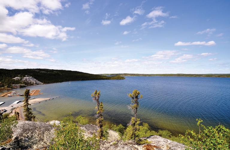
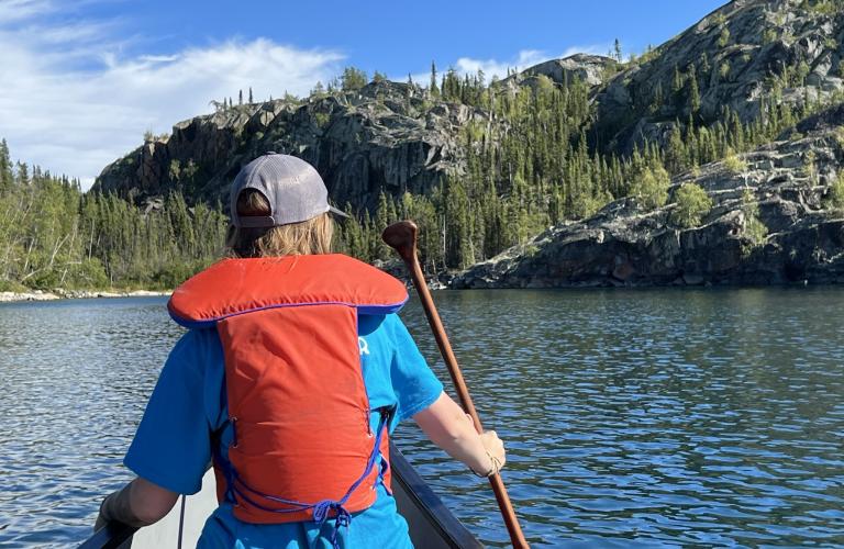
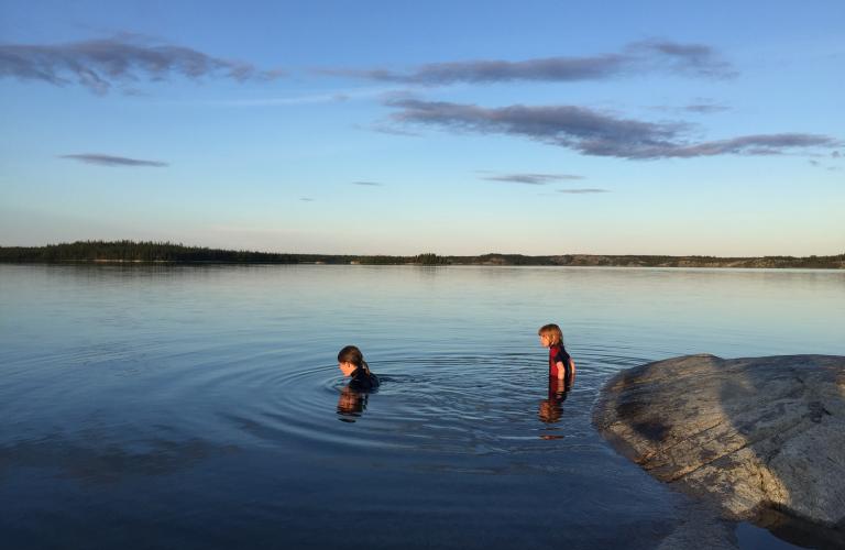
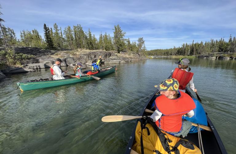
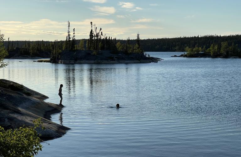
Set out on the stunning Ingraham Trail road trip, beginning in Yellowknife and stretching 70 km to Tibbitt Lake. This scenic drive winds through the ancient Precambrian landscape, offering breathtaking vistas of lakes, forests, and rugged rock formations. Along the way, you'll find numerous lakes, campgrounds, picnic sites, and boat launches, along with opportunities for recreational activities such as hiking, canoeing, swimming, fishing, and birdwatching. Ingraham Trail is an ideal journey for nature lovers and outdoor enthusiasts.
Kilometres reflect the distance start of Highway 4, just north of Yellowknife, not the total driving distance.
Route Detail
Yellowknife River Territorial Park Day Use Area
Day Tripper's Dream
The first of nine parks along the Ingraham, the Yellowknife River's day use area is a perfect place to enjoy a picnic or cast a line in. For the more adventurous, boat up the river and into the string of connected lakes or head downstream into Back Bay and Yellowknife Bay on Great Slave Lake.
Of Special Interest
A paved access road just 2 km past the day use area leads to the small Dene community of Dettah, located on the shores of the Great Slave Lake. This is a wonderful place to learn about Dene arts, culture, and history and see many examples of traditional Dene lifestyle.
Prosperous Lake Territorial Park Day Use Area
Dive Right In
While the park is primarily a boat launch, don't be deceived by the apparent small size of Prosperous Lake as seen from the shores – most of its 16 kilometres is just of sight and ready to be explored. Fish for monstrous lake trout or launch your canoe down river to the Tartan Rapids on the Yellowknife River.
Madeline Lake Territorial Park Day Use Area
A Day On the Water
This small park is primarily used as a launching point for canoeists, boaters, and anglers. Due to its sheltered location and small size, Madeline Lake is usually quite calm and warm. On-site parking, washrooms, playgrounds, and picnic tables with firepits make this the perfect place for a family lunch. Big Hill Trail Head, a popular hiking area, is accessible from a pull-out at the west end of the lake.
Pontoon Lake Territorial Park Day Use Area
Picture-perfect Views
Just a 20-minute drive from Yellowknife, this scenic little peninsula jutting into Pontoon Lake is the perfect spot to fish, picnic, or soak up the midnight sun.
Prelude Lake Territorial Park
Water Activities Abound
Prelude Lake is a water lover's dream. The largest developed park on the Ingraham Trail, it has numerous facilities to enjoy and 79 campsites to choose from (67 non-powered and 12 tent pads). Enjoy a wide range of water activities on the sandy beach: swimming, canoeing, wind surfing and water skiing. The park's trail system offers everything from a short stroll to a panoramic view or a longer, interpretive hike.
Powder Point Territorial Park Day Use Area
Enter the Wilderness
Powder Point is the main access into Hidden Lake Territorial Park's pristine wilderness. Enjoy the day fishing or picnicking at the day use area or launch your canoe for a backcountry adventure. Interpretive panels provide information on the park beyond visible shores.
Hidden Lake Territorial Park
Backcountry Adventure
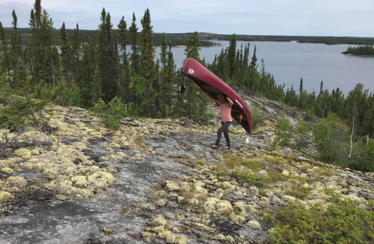
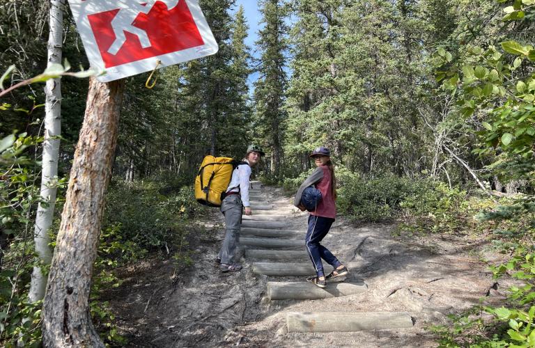
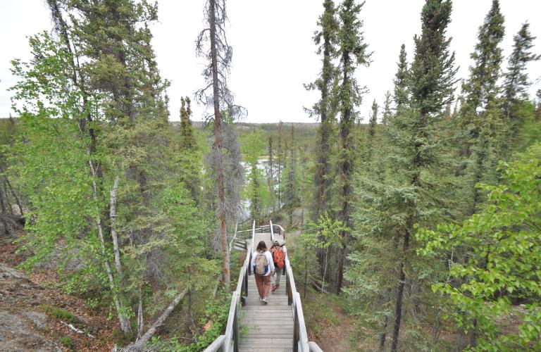
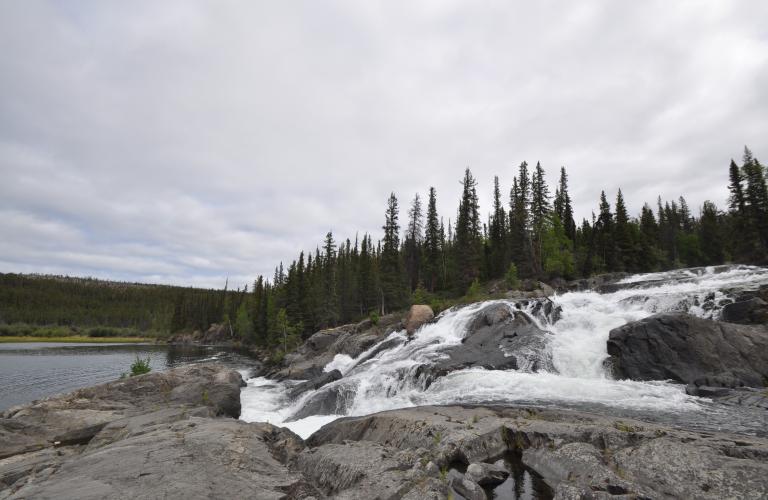
A natural 3,000-hectare backcountry park, Hidden Lake Territorial Park does not have any established facilities and can only be accessed by hiking and/or paddling, depending on the route. Hidden Lake is one of the most beautiful lakes along the Ingraham Trail (Hwy 4) and on a sunny day the lake appears aquamarine in colour and fish can be spotted swimming in its crystal-clear water. The park can be accessed from Powder Point and Cameron Falls Day Use Areas. The Powder Point route permits access by canoe via the east arm of Prelude Lake and there are a series of short portages before reaching Hidden Lake. Alternatively, the Cameron Falls Trail access route is a short, well-marked and maintained hike with easy-to-moderate route options through a forested trail to Cameron Falls. Above the falls, a bridge provides foot access into Hidden Lake Territorial Park.
Cameron River Crossing Territorial Park Day Use Area
Soak Up the Sun
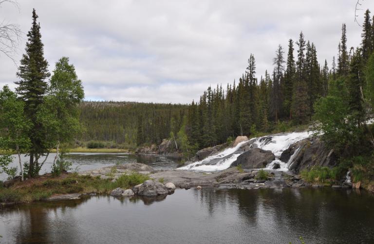
Picnic on the sandy shores of the Cameron River or walk the short trail to the Ramparts waterfall for picture taking and wildlife watching. The base of the falls, easily reached by the trail, is the ideal spot to soak up the sun or dip a toe into the water.
Reid Lake Territorial Park
Wilderness camping retreat
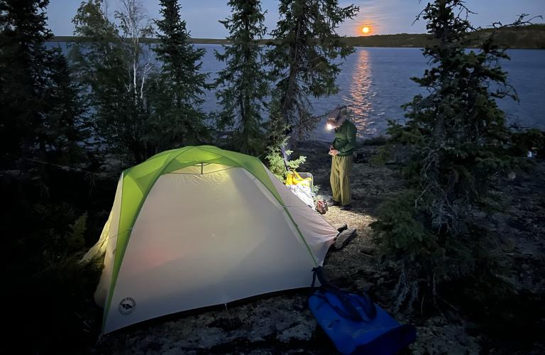
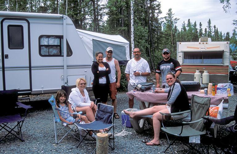
The second serviced campground along the Ingraham Trail, Reid Lake Territorial Park has 63 non-powered campsites and 11 tent pads. Fishing, swimming, canoeing, hiking and wildlife viewing all make Reid Lake Territorial Park is a great place to camp and enjoy the outdoors. It is also an excellent base camp for power boating or extended canoe trips into the surrounding lake systems.
The End of the Trail
Tibbit Lake
A popular fishing spot, Tibbit Lake marks the end of the Ingraham Trail and there are no facilities here. In the winter, ice roads extend from Tibbit Lake to Contwoyto Lake in Nunavut.


