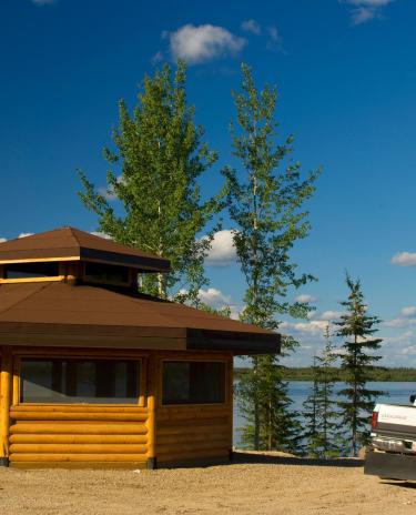
Enchanting northern landscapes
Dory Point Territorial Park Day Use Area

General Information
Located on the south side of the Deh Cho Bridge, on the bank of the mighty Mackenzie River, this day use area is an ideal place to stretch your legs, enjoy a picnic, and cast your line for some fish.
Park Size
Operating Date
Address
Phone
On this page
Amenities
Nearest community
Park Highlights
Activities
Special Notes
Accessibility
Unfortunately, this park is not wheelchair accessible at this time.
Nearby attractions
Just east of Fort Providence is the Mackenzie Bison Sanctuary, home to Canada's northernmost herd of bison/wood buffalo. Simply driving along Highway 3 is often enough to see these enormous beasts as they come out to grace on the roadside during the summer months.
Safety information
For general information about safety resources while in the Northwest Territories, check our Safety resources page.
Use caution when near the banks of the fast-moving Mackenzie River.
Weather information
See current weather conditions and forecasts from Environment Canada.