287 KM | Best for pristine wilderness and rich history
Heritage Route

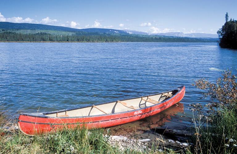
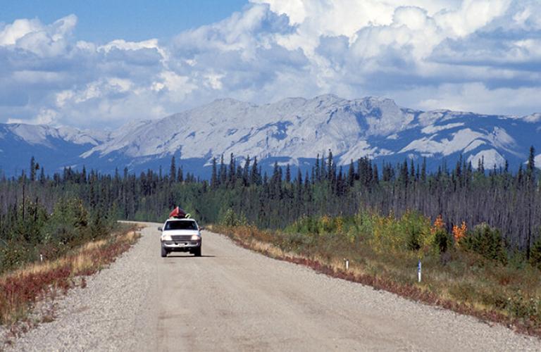
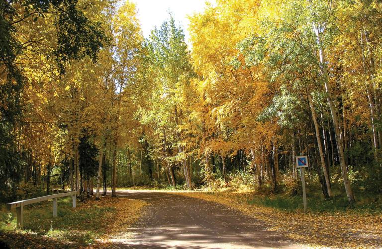
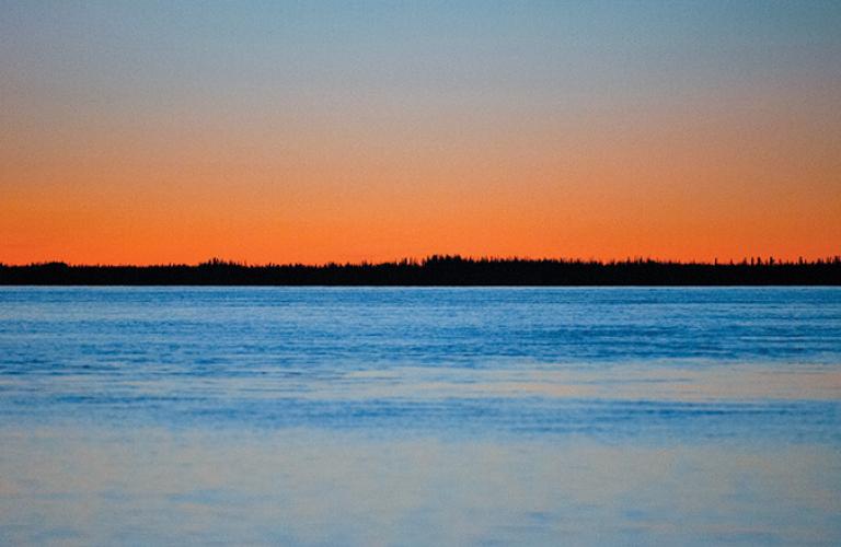
Showcasing a scenic region filled with forested hills, mountain views, clear lakes, and rivers. The Heritage Route travels along highway 1 north to Fort Simpson and Wrigley the northern most of the Dehcho Dene communities. Beginning at "Checkpoint", the junction of highways 7 and 1 the Heritage Route road trip will take you to Fort Simpson Territorial Park and many points of interest to enjoy outdoor activities such as camping, fishing, canoeing, and rafting are all easily accessible along this serene route.
Route Detail
Liard River Crossing
The Lafferty Ferry
This ferry operates daily on demand, from 8 am-11:45 pm from May through October. In winter, an ice road replaces the ferry.
Of Special Interest
The river cannot be crossed during the spring ice break-up and fall river freeze-up. Check the current river crossing conditions online or call 1-800-661-0750.
Fort Simpson Territorial Park
Junction of Highway 1 and Fort Simpson Access
Turn left with Highway 1 to go northwest to the community of Wrigley. Continue straight to travel to the main portion of the village of Fort Simpson.
The Village of Fort Simpson
Located on an island at the confluence of the Mackenzie and Liard Rivers, Fort Simpson (population 1,264) is the largest community in the region and the only village in the NWT. It serves as a base for accessing the Nahanni National Park Reserve and the Nááts'ihch'oh National Park Reserve of Canada.
Fort Simpson has a nine-hole golf course, a 32-site territorial campground and a conveniently located Visitor Information Centre that offers historical walking tours of the village. Local arts and crafts shops feature traditional Dene artwork.
This area was a primary meeting place for pre-contact First Nations and during the fur trade was an important location for the Northwest Trading Company (subsequently the Hudson's Bay Company). It is the oldest former trading post on the Mackenzie River; the "Fort of the Forks" was established 1803 and was later renamed Fort Simpson after the first governor of the Hudson's Bay Company.
The Snye is a shallow wetland ecosystem located between the main portion of the community and the southern shoreline of the river. Many different species of birds have been documented in this area, including tundra swans and snow geese, with many birds using the Snye as a nesting area, making it an excellent location for bird watching.
Of Special Interest
Access to Nahanni National Park Reserve and Nááts'ihch'oh National Park Reserve is primarily through air charter, which can be arranged from several communities in the NWT, including Fort Simpson, Fort Liard and Yellowknife. You can learn more about visiting national parks at Parks Canada's website.
The Snye is a shallow wetland ecosystem located between the main portion of the community and the southern shoreline of the river. Many different species of birds have been documented in this area, including tundra swans and snow geese, with many birds using the Snye as a nesting area, making it an excellent location for bird watching.
Fort Simpson Territorial Park
Located at the confluence of the Mackenzie and Liard Rivers, Fort Simpson Territorial Park has 21 powered and 11 nonpowered sites. Services and attractions in the town are within walking distance of the park, including the Ehdaa National Historic Site and Papal Site, where Pope Saint John Paul II visited in 1987.
Of Special Interest
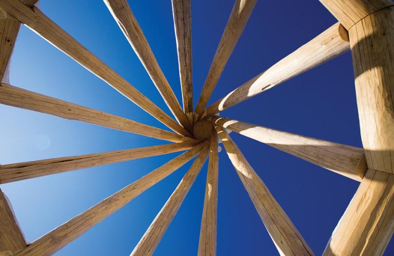
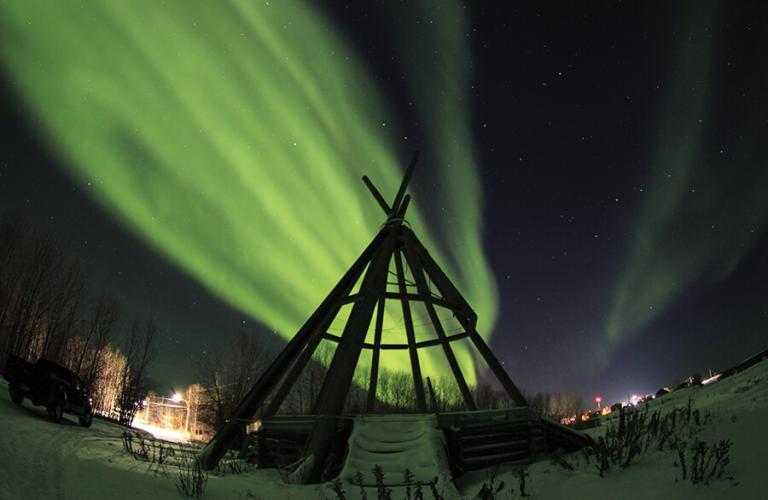
The Ehdaa National Historic Site has been a place of significance to the Łiidlįį Kų́ę́ Dene since oral tradition began. Today, it hosts seasonal Drum Circle celebrations and is home to Fort Simpson's Papal Site and the largest teepee in the world.
The Drive
Junction of Highway 1 and Fort Simpson Access
To complete the Heritage Route, head northwest on Highway 1 for a 220.5 km drive to the community of Wrigley. The last Territorial Park along the route is at Fort Simpson but Wrigley has a community campground for visitors.
Martin River
A favourite with local fishers, you'll often see people fishing along the Martin River when the pickerel/walleye or Arctic grayling are active. The one-lane bridge at this location should be taken with great care and reduced speed.
Shale Creek
Shale Creek is a shallow tributary of the Mackenzie River. This small creek contains a one-lane bridge that requires caution and reduced speed when crossing.
The Johnny Berens Ferry - N'Dulee Crossing
The ferry operates on demand from 9-11 am and from 2-8 pm from late May through October.
Of Special Interest
This river crossing is subject to extreme high and low water level fluctuations, which may cause delays. The river cannot be crossed during the spring ice break-up and fall river freeze-up.
Check the current river crossing conditions online or call 1-800-661-0750.
Willow Lake River
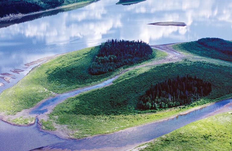
The Willow Lake River winds its way from the Horn Plateau in the east to the Mackenzie River. Historically, Indigenous groups used the river to transport furs to Fort Alexander, Manitoba, during the fur trade era. The furs and supplies were then traded, and goods transported to market via the Mackenzie River.
Mackenzie Valley Viewpoint
With three different mountain ranges in sight, this scenic viewpoint offers sweeping vistas to the south, west, and east. Looking to the south of the Mackenzie Valley, you can see where it meets the Willow Lake River. The Mackenzie Mountains come into view when facing west, situated across the Mackenzie River and several islands. To the east you can see the beginnings of the McConnell Mountain Range, which turns into the Franklin Mountain Range a little further north.
River Between Two Mountains
This river cuts a channel through the McConnell Range in the east, on its way to the Mackenzie River. The river has substantial cultural and historical significance to the First Nation groups in the area.
Wrigley
Pedzéh Kı̨́
Wrigley (population 110) is the northernmost all-season access point along the Heritage Route/Highway 1 road trip. This picturesque community overlooks the Mackenzie River, with views of the Franklin Mountains in the distance. Most of the Dene people in Wrigley live in log homes and carry on their traditional livelihoods of hunting, fishing and trapping. In the winter, the community provides a stop-over for vehicles driving farther north on the winter roads to the communities of Tulita, Deline, Norman Wells, Fort Good Hope and Colville Lake. There is also a community campground in Wrigley.
Of Special Interest
Cap Mountain, the highest peak in the Franklin Mountains, is within walking distance of Wrigley.
